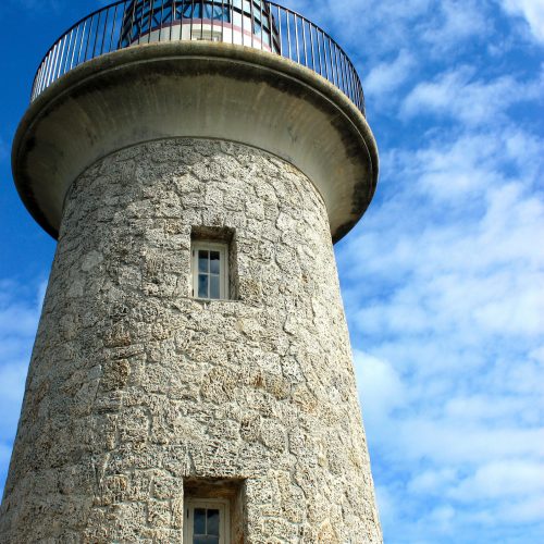
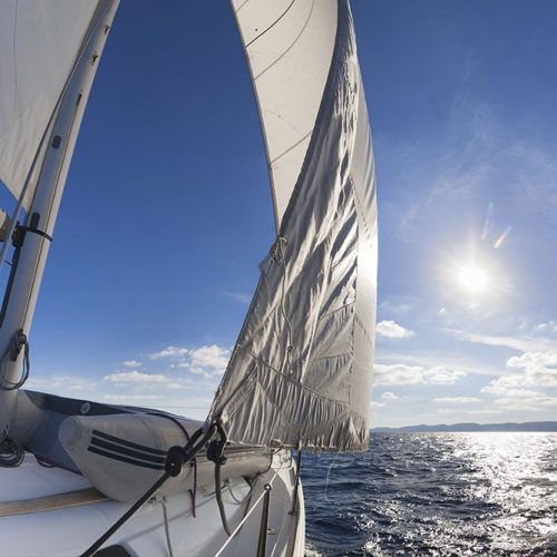
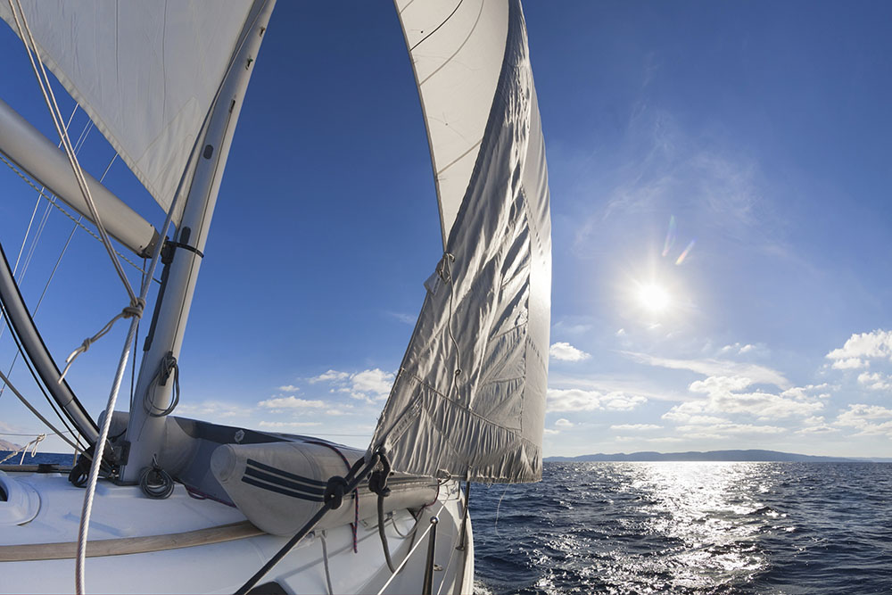
Biscayne National Park comprises 172,971 acres (69,999 ha) in Miami-Dade County in southeast Florida. Extending from just south of Key Biscayne southward to just north of Key Largo, the park includes Soldier Key, the Ragged Keys, Sands Key, Elliott Key, Totten Key and Old Rhodes Key, as well as smaller islands that form the northernmost extension of the Florida Keys. A wide shallow opening in the island chain, located between the Ragged Keys and Key Biscayne just north of the park’s boundary, is called the Safety Valve, as it allows storm surge water to flow out of the bay after the passage of tropical storms. The park’s eastern boundary is the ten-fathom line (60-foot; 18 m) of water depth in the Atlantic Ocean on the Florida Reef.
Learn About Biscayne National Park
The park preserves a rare combination of aquamarine waters, emerald islands and vibrant coral reefs all within sight of downtown Miami. The park takes advantage of its location next to this growing and diverse metropolis by partnering with a variety of local organizations to provide access for visitors to encounter and explore the scenery, wildlife, history and other amazing resources.
Support
Geography and History of Biscayne National Park
The park’s western boundary is a fringe of property on the mainland, extending a few hundred meters inland between Cutler Ridge and Mangrove Point. The only direct mainland access to the park is at the Convoy Point Visitor Center, adjacent to the park headquarters. The southwestern boundary adjoins the Turkey Point Nuclear Generating Station and its system of cooling canals.
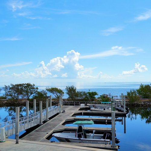
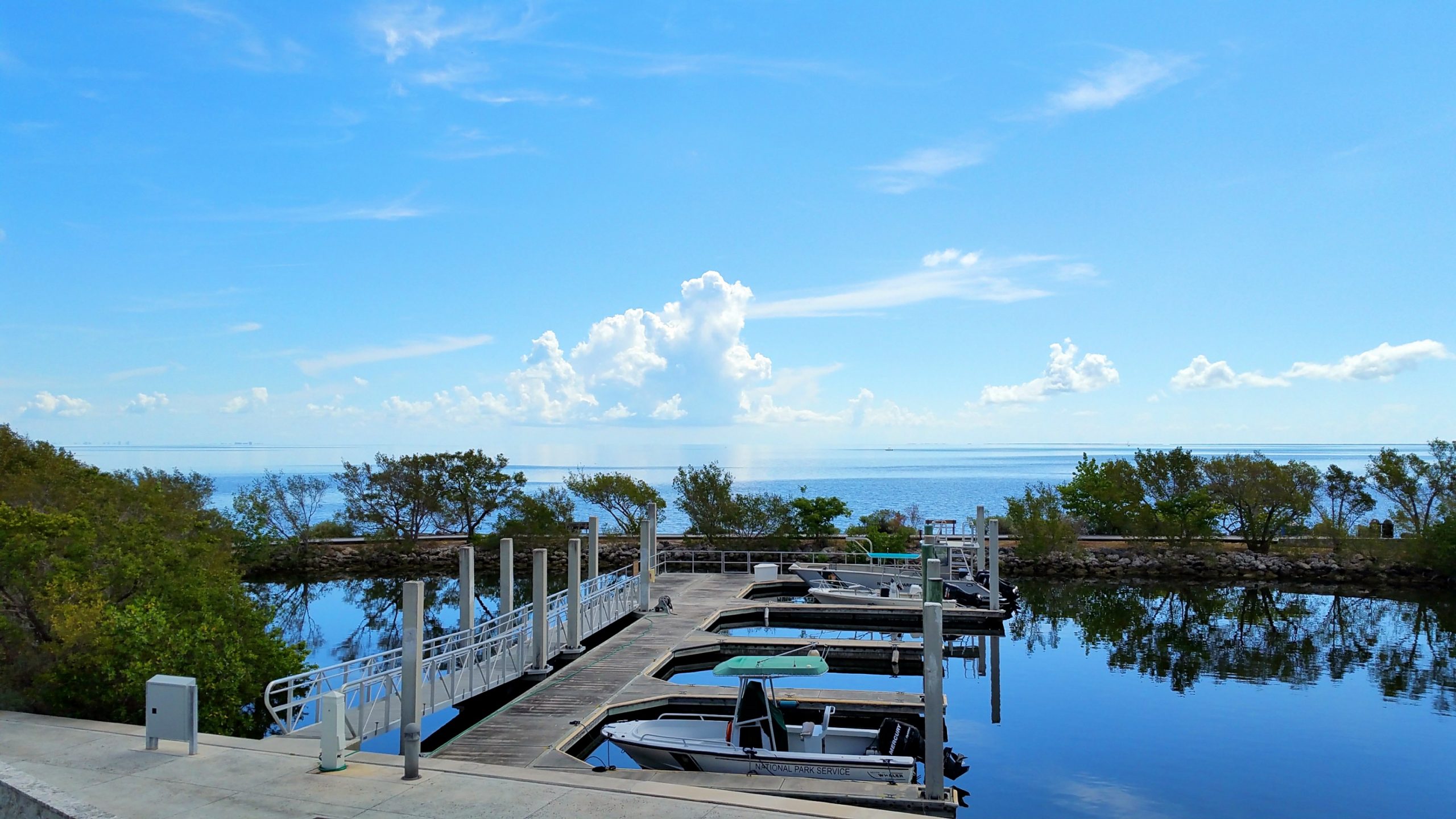
The southern portion of Biscayne Bay extends between Elliott Key and the mainland, transited by the Intracoastal Waterway. The park abuts the Florida Keys National Marine Sanctuary on the east and south sides of the park and John Pennekamp Coral Reef State Park to the south. Only 9,075 acres (3,673 ha) of the park’s area are on land, with the offshore keys comprising 4,250 acres (1,720 ha) and mainland mangrove swamps account for the remaining 4,825 acres (1,953 ha). As an extension of the Everglades ecosystem, much of the park was initially proposed to be included in Everglades National Park but was excluded from obtaining a consensus for the establishment of the Everglades park in 1947.
Native People
Native Americans were present in lower Florida 10,000 years ago, when ocean levels were low and Biscayne Bay was comparatively empty of water. Water levels rose from about 4000 years ago and inundated the bay. Archaeologists believe that any traces left by the peoples of that era are now submerged; none now exist on dry lands in the park. The Cutler Fossil Site, just to the west of the park, has yielded evidence of human occupation extending to at least 10000 years before the present.
The earliest evidence of human presence in Biscayne dates to about 2500 years before the present, with piles of conch and whelk shells left by the Glades culture. The Glades culture was followed by the Tequesta people, who occupied the shores of Biscayne Bay. The Tequesta were a sedentary community living on fish and other sea life, with no significant agricultural activity. A site on Sands Key has yielded potsherds, worked shells and other artifacts indicating occupation from at latest 1000 AD to about 1650, after contact was made with Europeans. A total of fifty significant archaeological sites have been identified in the park.
Exploration
Juan Ponce de León explored the area in 1513, discovering the Florida Keys and encountering the Tequesta on the mainland. Other Spanish explorers arrived later in the 16th century, and Florida came under Spanish rule. The then-Spanish government resettled the Tequesta in the Florida Keys, and the South Florida mainland was depopulated. Ponce de León referred to the bay as “Chequescha” after its inhabitants, becoming “Tequesta” by the time of Spanish governor Pedro Menéndez de Avilés later in the century. The present name has been attributed to a shipwrecked Basque sailor known as the “Biscaino” or “Viscayno” who lived in the area for a time, or to a more general allusion to the Bay of Biscay.
Spanish treasure fleets regularly sailed past the Florida Keys and were often caught in hurricanes. There are 44 documented shipwrecks in the park from the 16th through the 20th centuries. At least two 18th-century Spanish ships were wrecked in the park area. The Spanish galleon Nuestra Senora del Popolo is believed to have been wrecked in park waters in 1733, though the site has not been found. HMS Fowey was wrecked in 1748 in what is now Legare Anchorage, at some distance from the Fowey Rocks. The discovery of the ship in 1975 resulted in a landmark court case that established the wreck as an archaeological site rather than a salvage site. 43 wrecks are included on the National Register of Historic Places in the Offshore Reefs Archeological District, which extends for 30 mi (48 km) along the seaward side of the Biscayne National Park keys. During the 18th century, Elliott Key was the reputed base of two different pirates, both of whom were called Black Caesar, commemorated by Caesar’s Creek between Elliott and Old Rhodes Key.
Proposed Development
As modern communities continued growing in and around Miami, developers looked to southern Dade County for new projects. The undeveloped keys south of Key Biscayne were viewed as prime development territory. Beginning in the 1890s local interests promoted the construction of a causeway to the mainland. One proposal included building a highway linking the Biscayne Bay keys to the Overseas Highway at Key Largo and to the developed barrier islands to the north. At the same time, pressure built to accommodate industrial development in South Florida. This led to competing priorities between those who wished to develop for residential and leisure use and those in favor of industrial and infrastructure development. On December 6, 1960, 12 of the 18 area landowners who favored development voted to create the City of Islandia on Elliott Key. The town was incorporated to encourage Dade County to improve access to Elliott Key in particular, which landowners viewed as a potential rival to Miami Beach. The new city lobbied for causeway access and formed a negotiating bloc to attract potential developers.
In 1962 an industrial seaport was proposed for the mainland shores of Biscayne Bay, to be known as SeaDade. SeaDade, supported by billionaire shipping magnate Daniel K. Ludwig, would have included an oil refinery. In addition to the physical structures, it would have been necessary to dredge a 40-foot-deep (12 m) channel through the bay for large ships to access the refinery. The channel would have also required cutting through the coral reef to get to the deep water. In 1963 Florida Power and Light (FP&L) announced plans for two new 400-megawatt oil-fired power plants on undeveloped land at Turkey Point.
Many local residents and politicians supported SeaDade because it would have created additional jobs, but a group of early environmentalists thought the costs were too high. They fought against development of the bay and formed the Safe Progress Association. Led by Lloyd Miller, the president of the local chapter of the Izaak Walton League, Miami Herald reporter Juanita Greene, and Art Marshall, the opponents of industrialization proposed the creation of a national park unit that would protect the reefs, islands and bay. After initial skepticism, the park proposal obtained the support of Miami Herald editors, as well as Florida Congressman Dante Fascell and Florida Governor Claude R. Kirk, Jr., and were supported by lobbying efforts by sympathetic businessmen including Herbert Hoover, Jr.
One vision of Islandia, supported by land owners, would have connected the northern Florida Keys – from Key Biscayne to Key Largo – with bridges and created new islands using the fill from the SeaDade channel. Although Ludwig’s SeaDade plans were not supported by Miami-area politicians or the state of Florida, Islandia’s supporters continued to lobby for development support. In 1968, when it appeared the area was about to become a national monument, Islandia supporters bulldozed a highway six lanes wide right down the center of the island, destroying the forest for 7 miles (11 km). Islandia landowners called it Elliott Key Boulevard, but called it “Spite Highway” privately. It was hoped that since there was so much environmental damage, no one would want it for a national monument. Over time in the near-tropical climate, the forest grew back and now the only significant hiking trail on Elliott Key now follows the path of Elliott Key Boulevard.
The oil-fired Turkey Point power stations were completed in 1967–68 and experienced immediate problems from the discharge of hot cooling water into Biscayne Bay, where the heat killed marine grasses. In 1964 FP&L announced plans for two 693 MW nuclear reactors at the site, which were expected to compound the cooling water problem. Because of the shallowness of Biscayne Bay, the power stations were projected to consume a significant proportion of the bay’s waters each day for cooling. After extensive negotiations and litigation with both the state and with Ludwig, who owned lands needed for cooling water canals, a closed-loop canal system was built south of the power plants and the nuclear units became operational in the early 1970s.
Portions of the present park were used for recreation prior to the park’s establishment. Homestead Bayfront Park, still operated by Miami-Dade County just south of Convoy Point, established a “blacks-only” segregated beach for African-Americans at the present site of the Dante Fascell Visitor Center. The segregated beach operated through the 1950s into the early 1960s before segregated public facilities were abolished.
Stiltsville
Stiltsville is a group of wood stilt houses located one mile south of Cape Florida on sand banks of the Safety Valve on the edge of Biscayne Bay in Miami-Dade County, Florida. The structures stand on wood or reinforced concrete pilings, generally ten feet above the shallow water which varies from one to three feet deep at low tide.
Stiltsville was established by Eddie “Crawfish” Walker in the 1930s as a small community of shacks built on pilings in a shallow section of Biscayne Bay, not far from Key Biscayne. Comprising 27 structures at its height in the 1960s, Stiltsville lost shacks to fires and hurricanes, with only seven surviving in 2012, none of them dating to the 1960s or earlier. The site was incorporated into Biscayne National Park in 1985, when the Park Service agreed to honor existing leases until July 1, 1999. Hurricane Andrew destroyed most of Stiltsville in 1992. The Park Service has undertaken to preserve the community, which is now unoccupied. The community is to be administered by a trust and used as accommodation for overnight camping, educational facilities and researchers.
Nature and Ecology at Biscayne National Park
South Florida is a transitional zone between the Nearctic and Neotropical ecozones, resulting in a wide variety of plant and animal life. The intersection of ecozones brings opportunities for visitors to see species, particularly birds, that are not seen elsewhere in North America.
The park includes four distinct ecosystems, each supporting its own flora and fauna. Mangrove swamp, lagoon, island key and offshore reef habitats provide diversity for many species.
In this semi-tropical environment, the seasons are differentiated mainly by rainfall. Warm to hot and wet summers bring occasional tropical storms. Though only marginally cooler, the winters tend to be relatively drier. Bay salinity varies accordingly, with lower salinity levels in the wet summer, trending to more fresh water on the west side where new fresh water flows in.
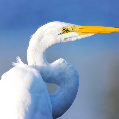
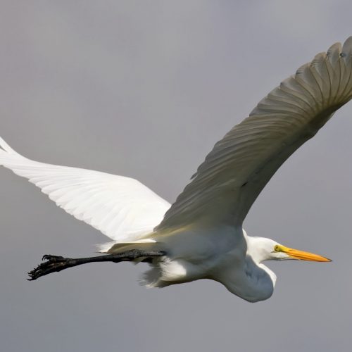
Hundreds of species of fish are present in park waters, including more than fifty crustacean species ranging from isopods to giant blue land crabs, about two hundred species of birds and about 27 mammal species, both terrestrial and marine. Molluscs include a variety of bivalves, terrestrial and marine snails, sea hares, sea slugs and two cephalopods, the Caribbean reef octopus and the Caribbean reef squid.
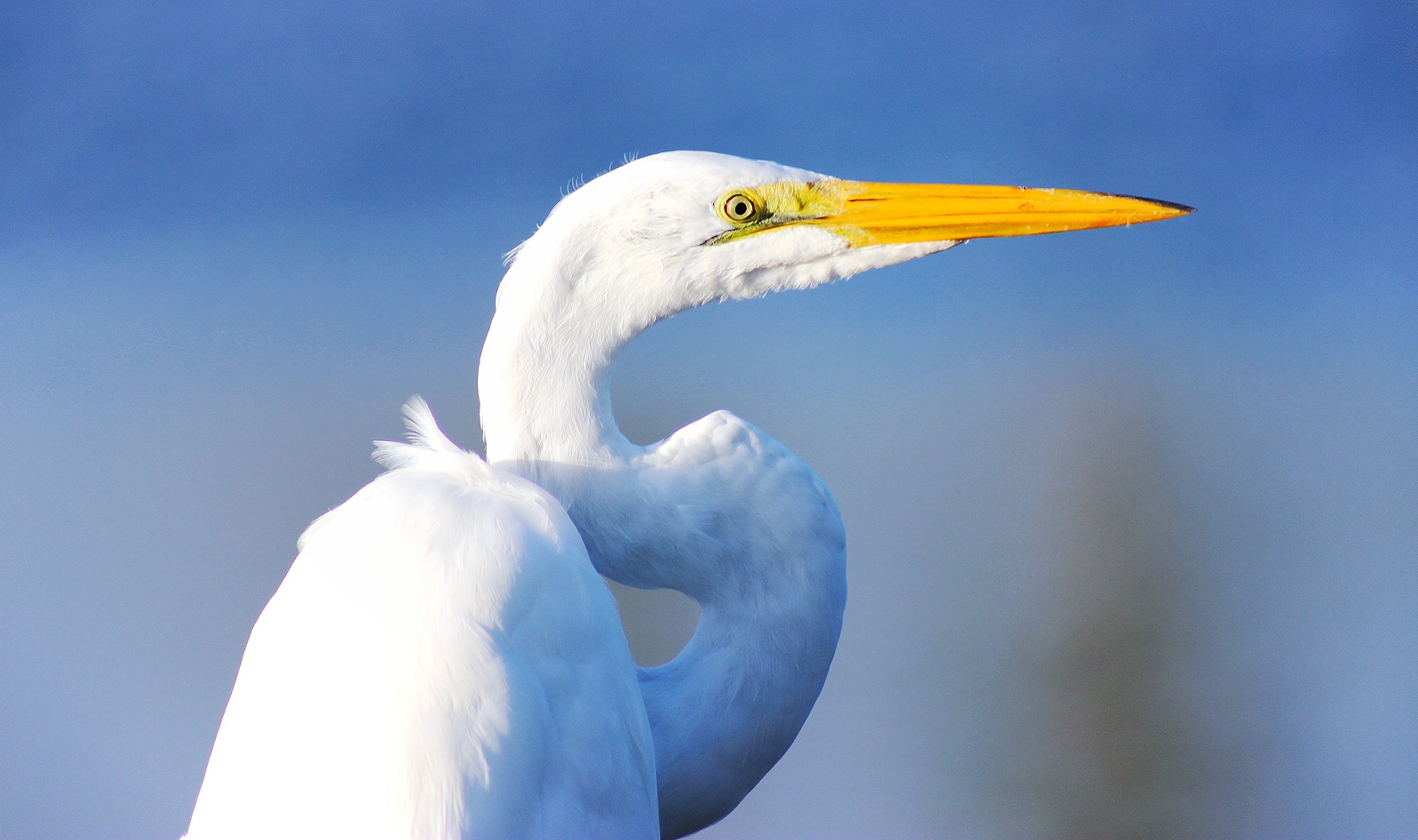
The sheltered open waters of the bay and the outlying chain of keys provide resting areas for migrating birds on their way between North American, the Caribbean islands, and South America. Many southbound land birds stop in the fall at Bill Baggs Cape Florida State Park, just north of the park on Key Biscayne, before venturing across the open waters of Biscayne Bay. Northbound spring migrants do likewise on Elliott Key. Most of the small passerine migrants are warblers, with ovenbirds, palm warblers, American redstarts, common yellowthroats, prairie warblers, worm-eating warblers and black-throated blue warblers accounting for the majority. Migrant raptors include short-tailed hawks, sharp-shinned hawks, merlins, peregrine falcons and swallow-tailed kites, while bald eagles and ospreys nest in the park. Both white-tailed and red-tailed tropicbirds are seen in the park, as are American flamingos, with some of the latter probably escaped captive birds.
Shoreline and Mangrove
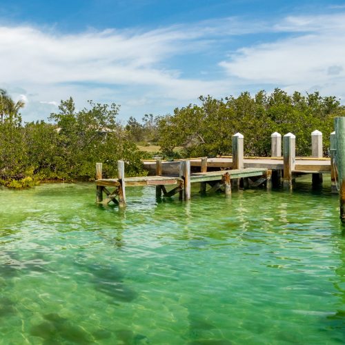
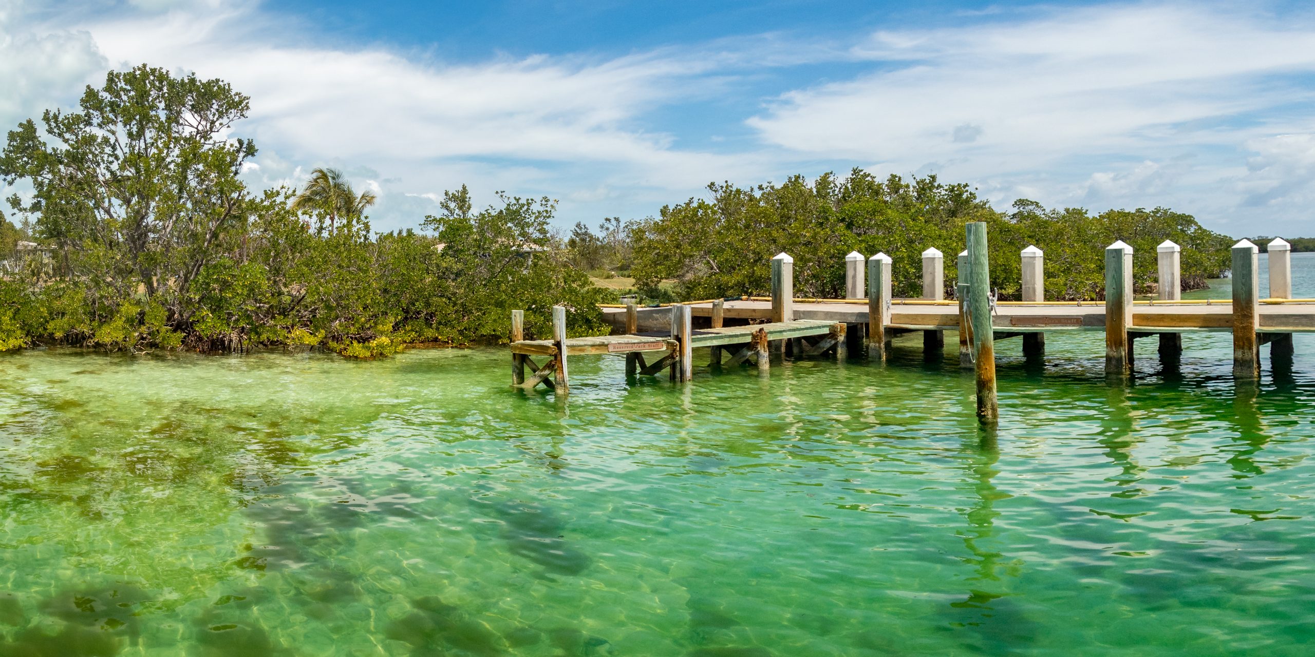
The mainland shorelines are dominated by a marshy transitional zone chiefly populated by red mangrove and black mangrove growing from the shallow water, with white mangrove growing farther back from the water’s edge. The trees’ aerial root structure provides a sheltered habitat for crabs, fish and wading birds. The brown waters within the mangrove thickets are nurseries for fish, mollusc and crustacean larvae that require a quiet, sheltered environment before the immature animals can disperse into open waters. Mangroves shed leaves at about 2 to 4 short tons per acre (4.5 to 9.0 t/ha) per year, providing food for fish, worms, and crustaceans. Because incorporation sequesters the carbon in the leaves into animals, the mangrove swamp is estimated to have two to three times the ability to sequester carbon of terrestrial forests. The mangrove forest on Biscayne Bay is the longest on Florida’s east coast. Shoreline and island mangrove swamps, together with the bay, represent a significant nursery for the marine life of southeast Florida.
The salt-tolerant mangrove margin has expanded inland as freshwater flow into the bay has been channelized, replacing freshwater sawgrass marshes. The L-31E coastal storm surge levee inland of the park’s western boundary has played a significant role in isolating former freshwater marshlands from their water sources. At the same time, tidal water does not reach the interior of the coastal margin, limiting interchange between salt and freshwater ecosystems.
Birdlife on the shoreline includes yellow-crowned night herons, loggerhead shrikes, prairie warblers, and shorebirds. Mangrove cuckoos, a notoriously difficult-to-observe species, may be seen at Convoy Point and Black Point. Biscayne has one of the most significant populations of mangrove cuckoos in Florida.
The park’s margins are habitat for the threatened American crocodile. The construction of miles of cooling water canals in the marl lands close to the shore behind the Turkey Point power plant, and the canals’ warm waters, have provided a nearly ideal environment for crocodile nesting, making the power plant a nursery for many of those living in the park.
Although crocodiles and American alligators both occur in extreme southern Florida, alligators are uncommon in Biscayne, since alligators mainly inhabit fresh waters found farther inland, while crocodiles can live in Biscayne’s somewhat saltier estuarine waters.
Bay
The open waters are inhabited by fish, molluscs, and crustaceans living on seagrasses or who prey on each other. The shallowness of the lagoon makes it a suitable habitat for diving birds such as anhinga, cormorants and diving ducks. The bay also provides habitat for juvenile sea animals that have left the shelter of the mangrove belts. Manatees frequent the quiet waters of the bay. The bay has a year-round population of double-crested cormorants. Winter residents include northern gannets, American white pelicans, and common loons. The bay also has a resident population of common bottlenose dolphins.
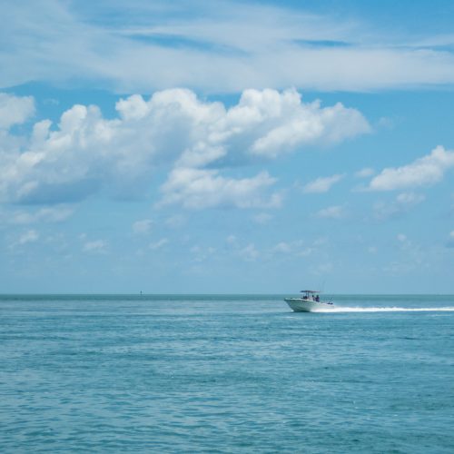
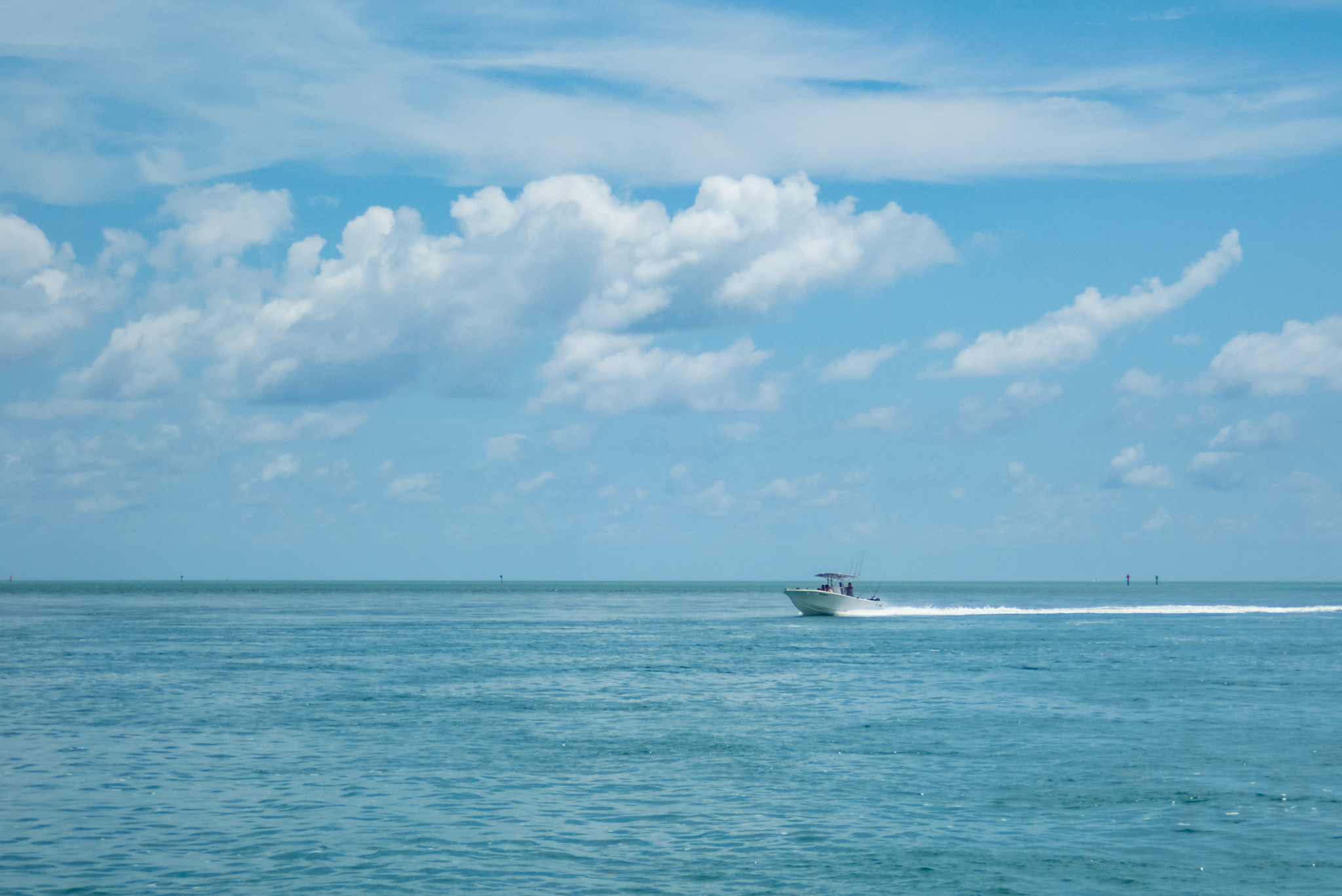
Biscayne Bay is a shallow lagoon with little vertical density or salinity gradient due to its lack of depth. Instead of a vertical gradient, the bay shows a horizontal density gradient, with fresh water entering from the drainage canals on the west side and seawater entering through gaps in the keys and the safety valve section of shoals. Bay salinity reaches a peak in June. Changes in the salinity pattern of the bay have had adverse effects on formerly abundant species such as the red drum. Biscayne Bay and Florida Bay are essential nurseries for red grouper and gray snapper. The bottom of the lagoon hosts sponges and soft corals in places where grasses cannot grow. Three primary species of seagrass are found in the park: turtle grass, shoal grass, and manatee grass. The endangered Johnson’s seagrass is also found in small quantities in the bay, which is at the southern end of the grass’s range. Grasses cover roughly 75 percent of the central bay floor. Scarring of seagrass beds by vessel groundings or propellers is a significant problem. About 200 such incidents are documented each year, with full re-growth requiring up to 15 years. The bay is also affected by commercial shrimp trawling, which is permitted in park waters. The passage of roller-frame trawl nets does not harm grasses but damages soft corals and sponges.
Keys
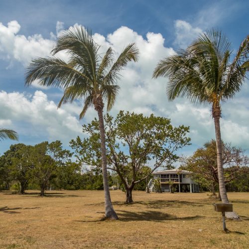
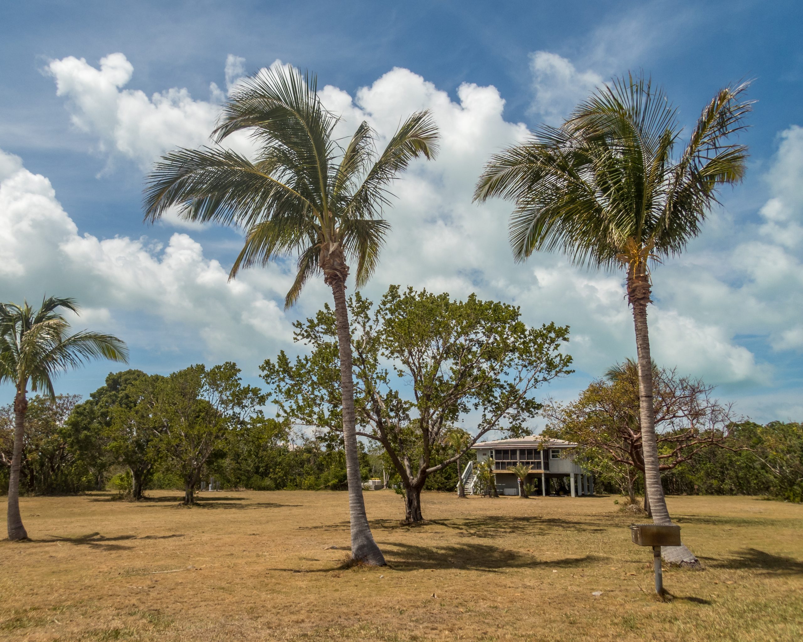
Elliott Key is the largest island in the park, measuring 1,650 acres (670 ha) and about 8.1 mi (13 km) long by 0.62 mi (1 km) wide. Next largest is Old Rhodes Key at 660 acres (270 ha), then Sands Key 420 acres (170 ha), Totten Key 380 acres (150 ha) and Little Totten Key at 200 acres (81 ha), with 37 smaller islands arranged in a north-south line 5 to 8.7 mi (8 to 14 km) east of the mainland shoreline. The keys shift from barrier islands with rocky cores in the north to coral rock platforms in the south. All are fringed with mangroves, with subtropical vegetation and hardwood forests in the interiors, including gumbo limbo, mahogany, ironwood, torchwood, and satinleaf. Insects include Schaus’ swallowtail, an endangered species, as well as dense clouds of mosquitoes in the wet season, preyed upon by dragonflies. Marsh rabbits and raccoons, together with mice and rats comprise the primary mammalian species. Reptiles include rattlesnakes and a variety of lizards, as well as an occasional crocodile.
The keys are a transitional area capable of hosting unexpected birds, often Caribbean species that have strayed near the mainland. The interior of the keys are frequented by warblers and the hawks that prey on them. Coastal zones are habitat for ruddy turnstones and least sandpipers. Gulls and terns include royal terns, laughing gulls, and ring-billed gulls, with brown pelicans just offshore. Wilson’s plovers nest on Boca Chita Key, where nesting zones are closed during breeding season.
The semaphore prickly-pear cactus is only found in and near Biscayne National Park and may be the rarest plant in the U.S.
Sea turtles nest on island beaches in the park. Park staff actively assist turtle nesting by removing debris from beaches that might pose an obstacle to adults and hatchlings. Loggerhead turtles are the most common sea turtle species and account for nearly all of the turtle nests in the park. Nest sites are identified by daily morning beach patrols and are protected with mesh screen against the predation by abundant raccoon population. Nest protection efforts have reduced predation from 100% of nests disturbed per year to no disturbed nests in 2007, with a more usual average of more than 50% nest disturbance in most years. In 2012 one undisturbed nest was found and protected, five partially disturbed nests were protected, and predators destroyed one nest. The threatened eastern indigo snake is also present on the island.
Rare and endangered plant species on the islands include Sargent’s cherry palm and the semaphore prickly-pear cactus. The cactus, which has been described as “near extinction,” has been reduced to about 20 individuals. A colonial population of 570 cacti were found on one island in Biscayne Bay in 2001, making it the largest known population of semaphore prickly-pear cactus in the world. The only natural population of Sargent’s palm grows on Elliott Key. Fewer than 50 grew on the key in 1991. Despite efforts to propagate the plant, there are now 16 Sargent’s palms on Elliott Key, with about 123 propagated on Long Key.
Two critically endangered butterflies, Schaus’ swallowtail, and the Miami blue are found in the park, mostly on Elliott Key. In 2012 the U.S. Fish and Wildlife Service (USFWS) authorized a capture and captive breeding program for Schaus’ swallowtail after only five of the butterflies were found by surveyors in the park, down from 35 in 2011, of a total surveyed Florida population of 41. The Miami blue was feared to be extinct after Hurricane Andrew in 1992, but a population was found in 1999 at Bahia Honda Key. The captive breeding produced 25,000 Miami blues, some of which have been released on Elliott Key with mixed results.
Coral Reef and Offshore Waters
Beyond the keys in the Atlantic Ocean, the seafloor slopes gradually down before rising in an almost continuous coral reef. The reef, composed of living corals, is inhabited by more than 200 species of fish, as well as molluscs, crustaceans, and worms. Every coral species in park waters is considered protected by either federal or state regulations. Coral reefs are estimated to cover about half the area of the park, with about 4000 individual patch reefs and areas of bank-barrier reef. Hundreds of species of hard and soft corals, sea anemones and sponges are found in bay and offshore waters. The coral reefs may themselves be subdivided into the outer reef on the edge of the Florida carbonate platform, the patch reefs between the outer reef and the keys, and the reefs in the shoals on either side of the keys. The offshore reefs are dominated by elkhorn coral to 10-meter (33 ft) water depth, and staghorn coral below 10 meters. The landward patch reefs are principally composed of boulder star coral and symmetrical brain coral. The island shoal reefs mainly consist of lesser starlet coral and Porites finger corals.
Reef environments in Biscayne National Park have seen declines in species richness and diversity across all fish species from 1977 to 1981 to 2006–2007. A sampling program showed declines at all sampling sites. A correlation has been posited between the observed decline in coral reef coverage throughout the Florida Reef tract and the decline in fish species. Declines in populations were noted in both gamefish and in fish species not exposed to fishing pressure. Algal cover has increased as coral has declined so that coral-dwelling species have decreased while herbivorous fish have increased. Increased overall salinity and changing salinity gradients in Biscayne Bay may also play a role, while polychlorinated biphenyl and mercury contamination have been noted in fish samples.
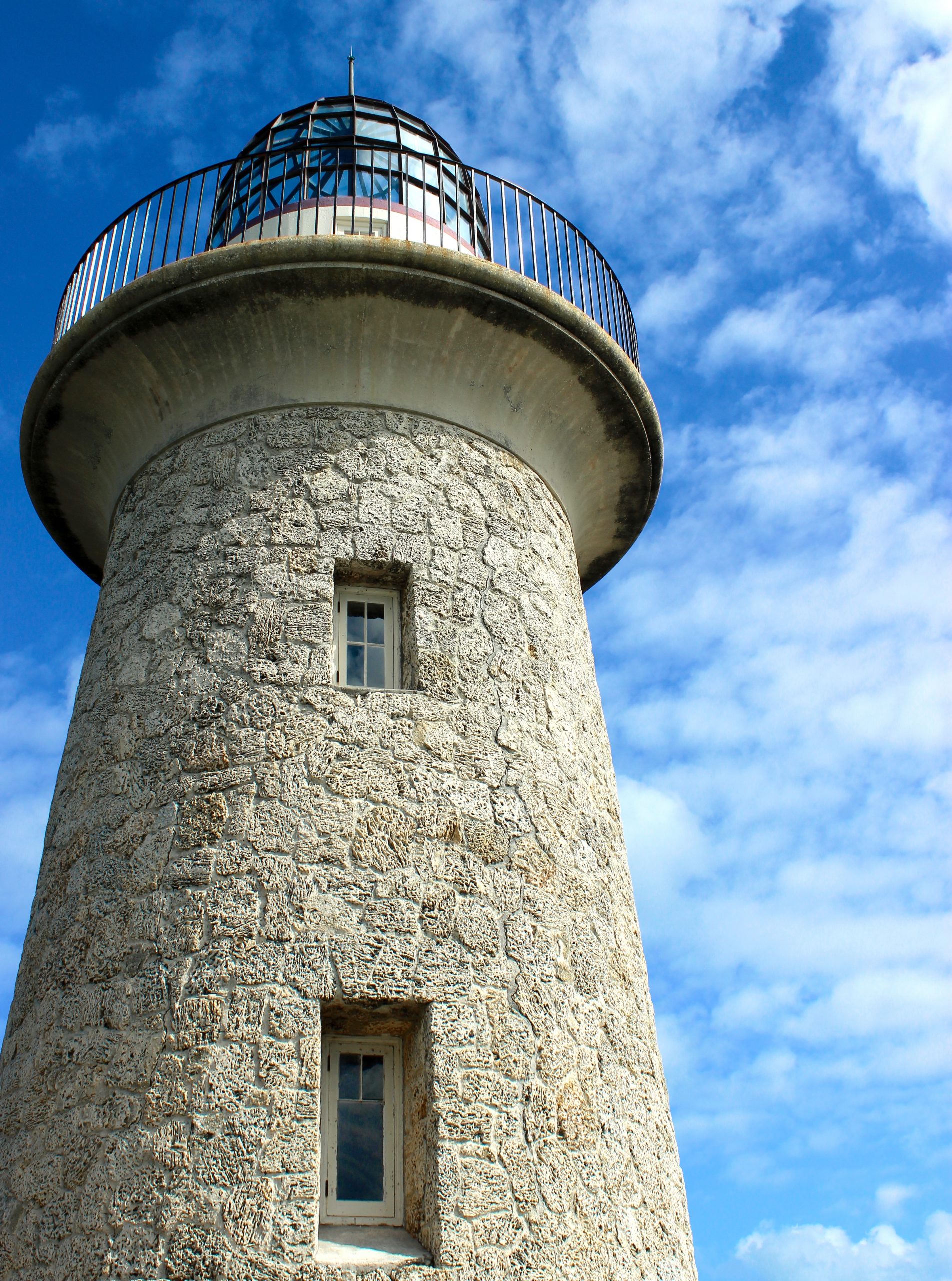
The park’s eastern boundary lies just beyond the rise of the offshore reef at ten-fathom (60-foot; 18 m) sea depth. Areas farther offshore are protected within the Florida Keys National Marine Sanctuary, which extends eastward to a boundary corresponding to a depth of 300 fathoms (1,800 ft; 550 m). The offshore waters harbor brown pelicans, magnificent frigatebirds, brown boobies, particularly around the offshore lights, and pelagic birds such as shearwaters and petrels. Whales in offshore waters are rare but can include right whales, humpback whales, sperm whales, fin whales and sei whales, all of them endangered. The smalltooth sawfish is similarly rare in park waters and endangered. Threatened coral species include elkhorn and staghorn corals, as well as pillar coral, listed as endangered in Florida.
Exotic Species
More than 50 species of exotic plant have been documented in the park, with almost 20 of those considered to be pest species which may displace native plants and possibly alter the ecological balance. Green iguanas, cane toads, black rats, lionfish, fire ants, oscars, and brown basilisk lizards are common in the park. The lionfish is a tropical fish from the Indian-Pacific Ocean area. It is known for its voracious appetite and its ability to establish itself in new waters, rapidly replacing other species. Researchers theorized that the introduction of this species in the park occurred during Hurricane Andrew in 1992. Sightings in Biscayne Bay at that time were believed to have been from home aquariums that were destroyed during the hurricane, though the researcher who first proposed the theory has since retracted the assertion. More recent lionfish sightings are probably from more established populations in the Florida Keys to the south of the park. Also likely originating from human captivity, Burmese pythons have been observed near the park’s boundary along the mainland. Exotic plant species which pose the highest risk to native plant communities include Brazilian-pepper, torpedo grass, tuberous sword fern, guava and portia tree.
Support Biscayne National Park
Make a donation, contribute with purchases, or offer your time and experience.
Get Involved